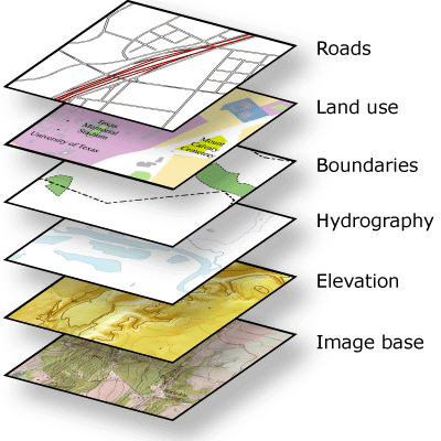
Within ArcGIS, every dataset has a coordinate system, which is used to integrate it with other geographic data layers within a common coordinate framework such as a map. Coordinate systems enable you to integrate datasets within maps as well as to perform various integrated analytical operations such as overlaying data layers from disparate sources and coordinate systems.
 |


0 commentaires